iPhone


iPad
Generate precise elevation profiles from any point, route, or track. Powered by the Copernicus DEM GLO-90 — global land coverage at ~90 m resolution.
From a single tap on the map to a full cross-section of a mountain road — Altitude Explorer gives you the elevation picture at any scale.
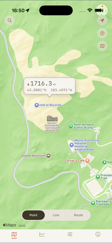
Tap anywhere on the map to instantly read the exact elevation at that location — meters or feet, your choice.
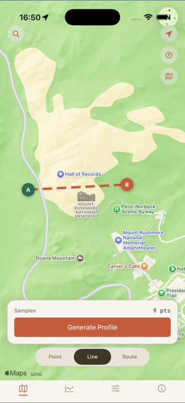
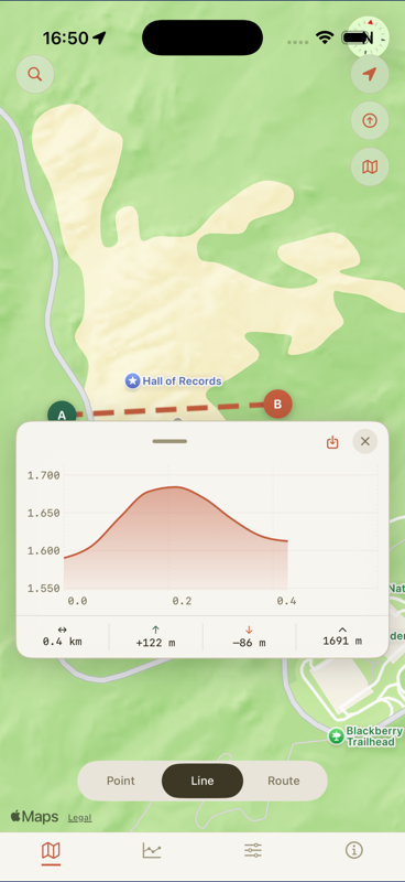
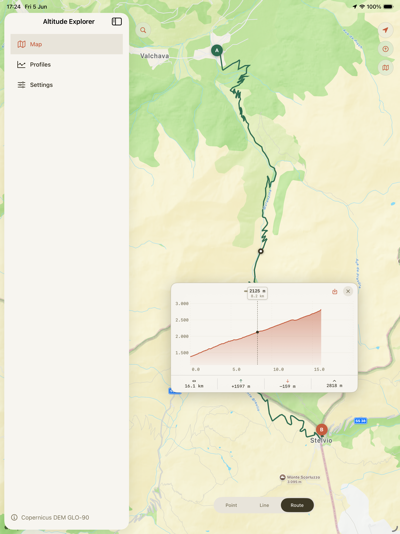
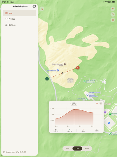
Place two markers and generate a precise cross-section of the terrain between them, with distance and elevation chart.
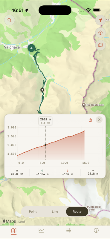
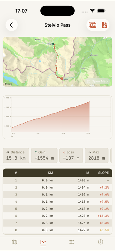
Follow a real driving or walking route and see how elevation changes along the way — ideal for trip planning and cycling.
Load GPX, KML, KMZ, or GeoJSON files from Files, Mail, or any share sheet and visualise the elevation of your own tracks.
Drag a scrubber along the profile chart to read elevation and distance at any point. The map updates in sync.
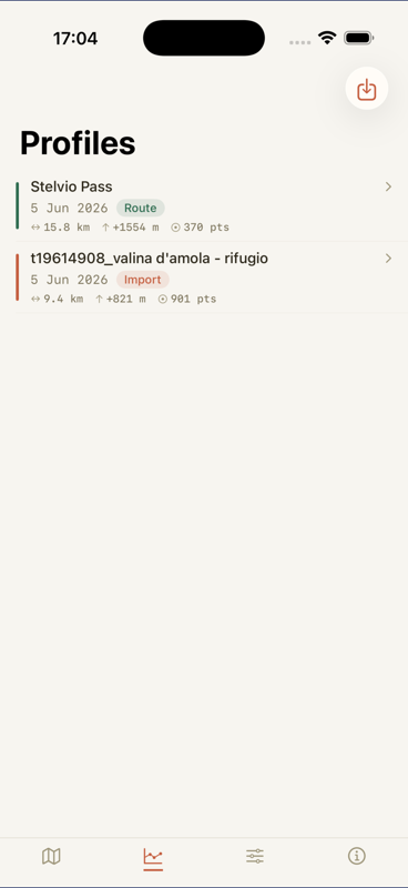
Store profiles in a personal library with custom names. Revisit any saved profile without re-querying the server.
Export any profile as a PDF including a map snapshot, elevation chart, statistics summary, and a full data table.
All land areas from 90°S to 84°N, 180°W to 180°E. A null elevation result means ocean or outside land area — not an error.
All elevation data is sourced from the Copernicus DEM GLO-90, hosted on proprietary servers for fast, direct access across all supported regions.
A Digital Elevation Model derived from TanDEM-X radar imagery, operated by DLR and Airbus Defence and Space under the European Union's Copernicus Programme. Resolution: approximately 90 metres per pixel.
Covers approximately 90°S to 84°N latitude, 180°W to 180°E longitude — all land areas worldwide. All elevations are in metres above sea level. A null result indicates ocean or outside land coverage and is not an error.
Accuracy varies with terrain complexity. Dense vegetation, steep slopes, and urban areas may introduce minor artefacts. Full attribution and the Copernicus Data Policy are available in Settings → About.
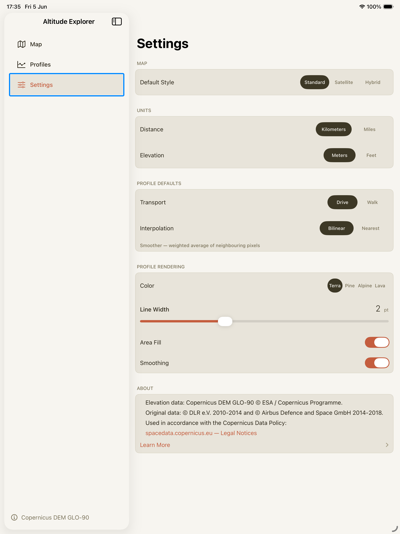
Configure units, appearance, and calculation options to match your workflow.